En
Log in
All resources
Create a design
Tools
7,118 Free Images of Engraved Maps
copper engraving print
british library
joan blaeu
1667 maps
atlas maior, vol 6 (scotland and ireland) - joan blaeu, 1667 - bl 114.h(star).6
atlas maior, vol 5 (england) - joan blaeu, 1667 - bl 114.h(star).5
baroque
1667 maps of italy
atlas maior, vol 9 (italy) - joan blaeu, 1667 - bl 114.h(star).9
koninklijke bibliotheek
1660s maps of spain
1667 maps
atlas maior, vol 6 (scotland and ireland) - joan blaeu, 1667 - bl 114.h(star).6
1667 maps
atlas maior, vol 5 (england) - joan blaeu, 1667 - bl 114.h(star).5
1660s maps of wales
atlas maior, vol 11 (asia) - joan blaeu, 1667 - bl 114.h(star).11
1667 maps
atlas maior, vol 6 (scotland and ireland) - joan blaeu, 1667 - bl 114.h(star).6
1667 maps
atlas maior, vol 6 (scotland and ireland) - joan blaeu, 1667 - bl 114.h(star).6
1667 maps
atlas maior, vol 3 (germany) - joan blaeu, 1667 - bl 114.h(star).3
old maps of moravia
atlas maior, vol 6 (scotland and ireland) - joan blaeu, 1667 - bl 114.h(star).6
1667 maps
atlas maior, vol 5 (england) - joan blaeu, 1667 - bl 114.h(star).5
old maps of the channel islands
atlas maior, vol 11 (asia) - joan blaeu, 1667 - bl 114.h(star).11
1667 maps
atlas maior, vol 6 (scotland and ireland) - joan blaeu, 1667 - bl 114.h(star).6
1667 maps
atlas maior, vol 6 (scotland and ireland) - joan blaeu, 1667 - bl 114.h(star).6
1667 maps
atlas maior, vol 5 (england) - joan blaeu, 1667 - bl 114.h(star).5
17th-century maps of westmorland
atlas maior, vol 5 (england) - joan blaeu, 1667 - bl 114.h(star).5
17th-century maps of huntingdonshire
atlas maior, vol 6 (scotland and ireland) - joan blaeu, 1667 - bl 114.h(star).6
1667 maps
atlas maior, vol 6 (scotland and ireland) - joan blaeu, 1667 - bl 114.h(star).6
1667 maps
atlas maior, vol 5 (england) - joan blaeu, 1667 - bl 114.h(star).5
17th-century maps of leicestershire
atlas maior, vol 6 (scotland and ireland) - joan blaeu, 1667 - bl 114.h(star).6
1667 maps
atlas maior, vol 6 (scotland and ireland) - joan blaeu, 1667 - bl 114.h(star).6
1667 maps
atlas maior, vol 5 (england) - joan blaeu, 1667 - bl 114.h(star).5
17th-century maps of glamorgan
atlas maior, vol 9 (italy) - joan blaeu, 1667 - bl 114.h(star).9
1667 maps of italy
atlas maior, vol 5 (england) - joan blaeu, 1667 - bl 114.h(star).5
17th-century maps of yorkshire
atlas maior, vol 6 (scotland and ireland) - joan blaeu, 1667 - bl 114.h(star).6
1667 maps
maps of stade
baroque
atlas maior, vol 11 (asia) - joan blaeu, 1667 - bl 114.h(star).11
1667 maps
atlas maior, vol 9 (italy) - joan blaeu, 1667 - bl 114.h(star).9
1667 maps of italy
atlas maior, vol 6 (scotland and ireland) - joan blaeu, 1667 - bl 114.h(star).6
1667 maps
atlas maior, vol 10 (spain and africa) - joan blaeu, 1667 - bl 114.h(star).10
1667 maps
atlas maior, vol 6 (scotland and ireland) - joan blaeu, 1667 - bl 114.h(star).6
1667 maps
atlas maior, vol 12 (america) - joan blaeu, 1667 - bl 114.h(star).12
1667 maps
atlas maior, vol 12 (america) - joan blaeu, 1667 - bl 114.h(star).12
1667 maps
atlas maior, vol 5 (england) - joan blaeu, 1667 - bl 114.h(star).5
17th-century maps of brecknockshire
atlas maior, vol 9 (italy) - joan blaeu, 1667 - bl 114.h(star).9
1667 maps of italy
atlas maior, vol 6 (scotland and ireland) - joan blaeu, 1667 - bl 114.h(star).6
1667 maps
atlas maior, vol 7 (france i) - joan blaeu, 1667 - bl 114.h(star).7
1667 maps
atlas maior, vol 4 (netherlands) - joan blaeu, 1667 - bl 114.h(star).4
1667 maps
atlas maior, vol 6 (scotland and ireland) - joan blaeu, 1667 - bl 114.h(star).6
1667 maps
atlas maior, vol 7 (france i) - joan blaeu, 1667 - bl 114.h(star).7
1667 maps
atlas maior, vol 10 (spain and africa) - joan blaeu, 1667 - bl 114.h(star).10
1667 maps
atlas maior, vol 5 (england) - joan blaeu, 1667 - bl 114.h(star).5
17th-century maps of hertfordshire
itinerario (jan huygen van linschoten)
renaissance
maps by jean-baptiste bourguignon d'anville
solomon boulton
old maps of algiers
maps from gallica
old maps of the dutch east india company
1740s maps of arabia
vrbivm praecipvarvm totivs mvndi liber tertivs (1616)
maps of fortress of charlemont by braun & hogenberg
maps of the west-indische compagnie
1747 maps of africa
topographia braunschweig lüneburg (merian)
engravings of hannover
old maps of hannover
1757 in hannover
atlas van der hagen (volume 4)
german renaissance
18th-century maps of puerto rico
1785 maps
maps from the earth and its inhabitants, vol. ix
exploration of arabia
engravings of topographia braunschweig lüneburg
baroque
old maps of the amazon river
1700s maps of brazil
maps from the earth and its inhabitants, vol. iv
maps of lewis, scotland
grigory anikiyevich kachalov
mikhail makhaev
celeberrimi fluvii albis nova delineatio by willem janszoon blaeu
old maps of germany from deutsche fotothek
parts of old maps of hamburg
maps of hamburg-sternschanze
hoogheemraadschap rijnland map, 2nd edition, 1687
linen
the new forest, its history and its scenery
symbolism
old maps of narva
1700 maps
17th-century engravings
johannes de ram
maps by nicolaes visscher i
atlas van der hagen
alessandro baratta
old maps of genoa
ambrosio spinola, marqués de los balbases
engravings by jacques callot
victor levasseur - maps of france
1847 maps
atlas maior, vol 6 (scotland and ireland) - joan blaeu, 1667 - bl 114.h(star).6
1667 maps
engravings by matthäus merian
baroque
maps from the earth and its inhabitants, vol. xiv
19th-century maps of borneo
maps from the earth and its inhabitants, vol. xiii
maps of orange free state
old maps of emden
baroque
engravings of topographia braunschweig lüneburg
baroque
maps from the earth and its inhabitants, vol. v
maps of sea ice
maps from the earth and its inhabitants, vol. xii
1710s maps of africa
bolshoi kamenny theatre
classicism
jan karel donatus van beecq
hernán cortés
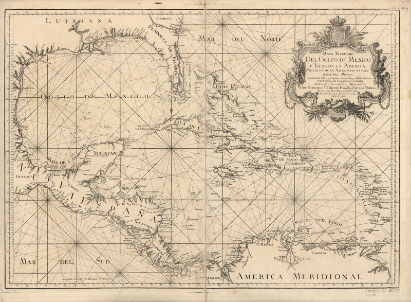
maps in the library of congress
1750s maps of central america
maps from the earth and its inhabitants, vol. vii
floods in china
maps from the earth and its inhabitants, vol. iv
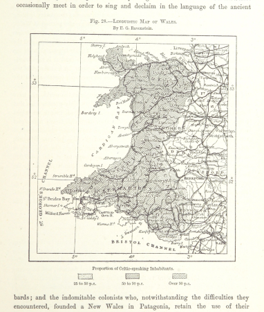
linguistic maps of wales
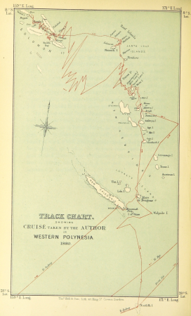
wanderings, south and east (1882)
old maps of polynesia
old maps of south africa
maps of transvaal
maps from the earth and its inhabitants, vol. xiii
exploration of africa
cornelis de jode
1579 maps
maps of the kingdom of kongo
maps by petrus bertius
maps of paris from bibliothèque nationale de france
dheulland map of paris
map of the german empire by louis stanislas d'arcy de la rochette
1782 maps of the holy roman empire
atlas maior, vol 12 (america) - joan blaeu, 1667 - bl 114.h(star).12
1667 maps
engravings in the yale center for british art
pierre-charles canot
maps from the earth and its inhabitants, vol. x
1910s maps of somalia
baroque
sickte
historical
history
atlas maior, vol 6 (scotland and ireland) - joan blaeu, 1667 - bl 114.h(star).6
1667 maps
atlas maior, vol 9 (italy) - joan blaeu, 1667 - bl 114.h(star).9
1667 maps of italy
atlas maior, vol 5 (england) - joan blaeu, 1667 - bl 114.h(star).5
17th-century maps of devon
engravings in the yale center for british art
nathaniel whittock
old maps of saxony
pieter schenk (ii)
atlas maior, vol 5 (england) - joan blaeu, 1667 - bl 114.h(star).5
17th-century maps of suffolk
atlas maior, vol 5 (england) - joan blaeu, 1667 - bl 114.h(star).5
17th-century maps of county durham
atlas maior, vol 5 (england) - joan blaeu, 1667 - bl 114.h(star).5
17th-century maps of sussex
atlas maior, vol 5 (england) - joan blaeu, 1667 - bl 114.h(star).5
17th-century maps of norfolk, england
atlas maior, vol 5 (england) - joan blaeu, 1667 - bl 114.h(star).5
17th-century maps of berkshire
901 - 1000 of 7,118
Next page
/ 72